About Earthline Trace
Commodity supply chains, mapped to the plot and the field.
Three products, one sign-in
Each product answers the questions of one commodity or one risk. A client opens the ones set up for it with the same account.
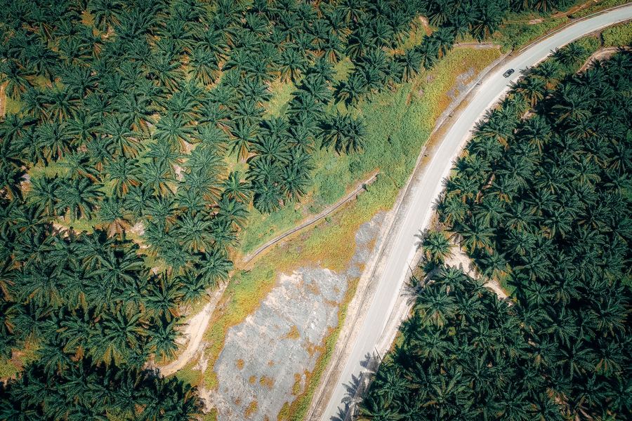
 PalmTracePalm oil · IndonesiaMills, their supply base and every plot behind them, checked against the EUDR cutoff of 31 December 2020 — with deforestation monitoring and studies such as POME and oleochemicals.Read more →
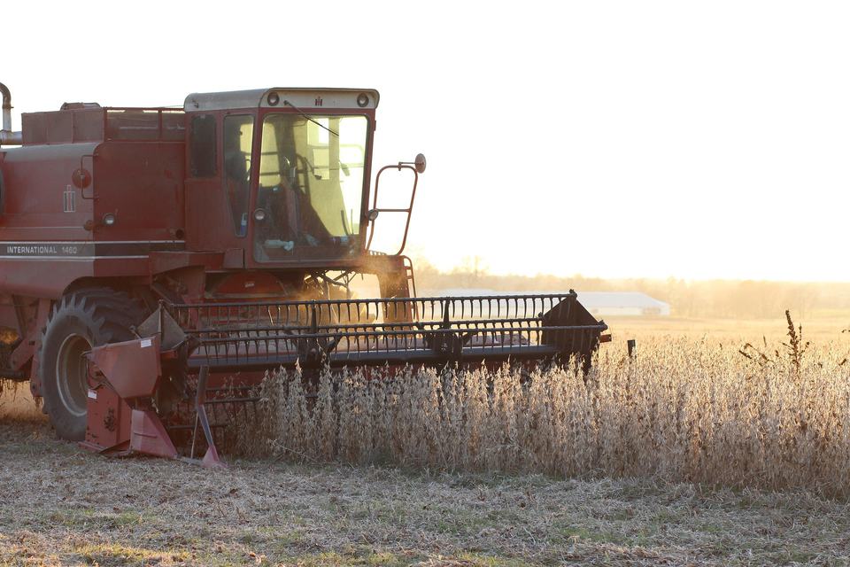
 SoyTraceSoybeans · United StatesCrushing plants, their sourcing areas and every soybean field inside — field boundaries, eight seasons of crop history and the transport network around them.Read more →
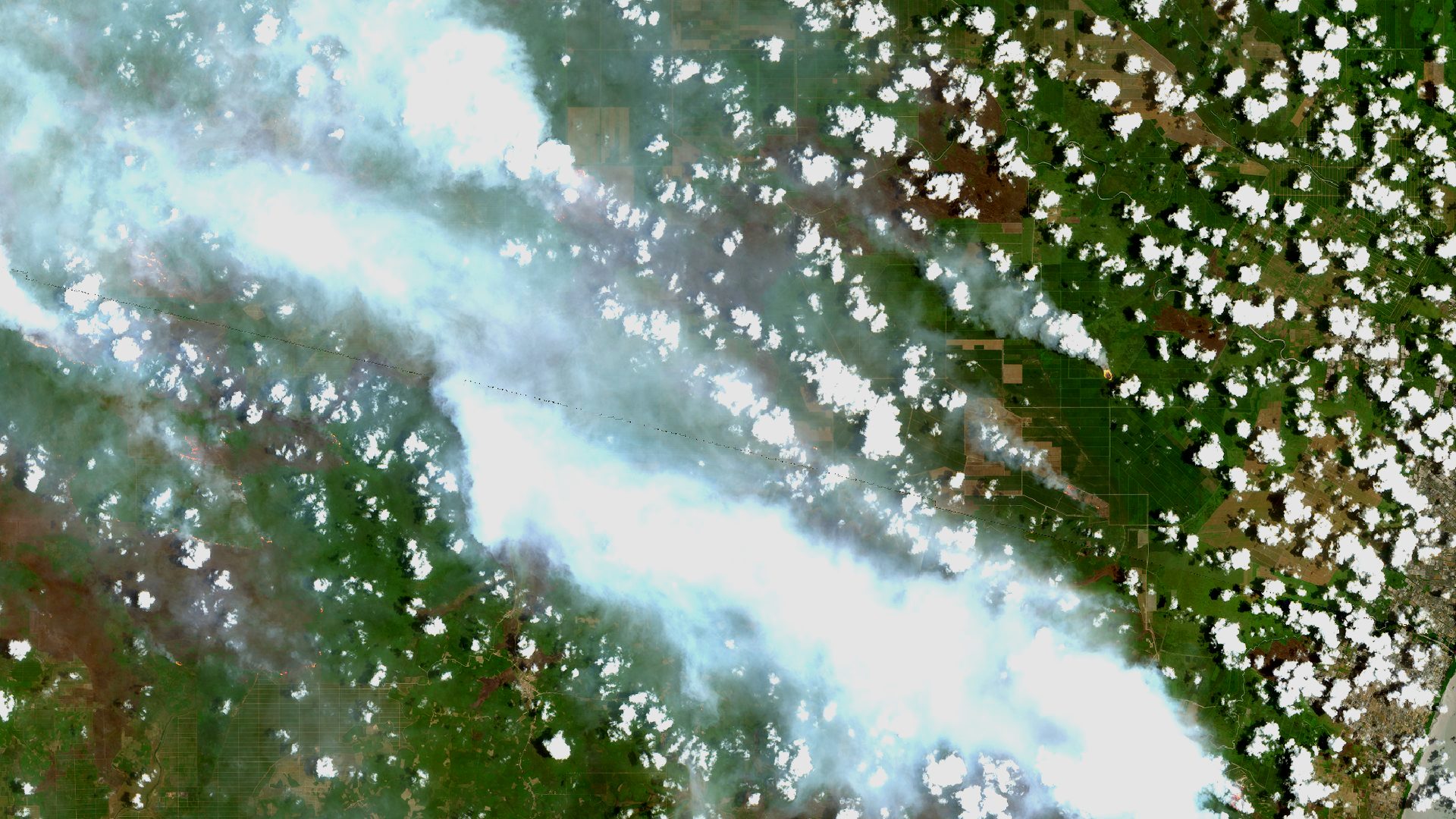
 FireLineFires · IndonesiaEvery satellite fire hotspot across Indonesia (NASA FIRMS VIIRS), by province, district and company, with the plantations it falls on, Sentinel images for each case and field checks.Opens as its own app ↗
How the work is done
Collect
Mills, facilities and plots come from the client and its suppliers. Field boundaries, forest maps and satellite data come from public sources, listed below.
Analyse
Earthline's geospatial team checks every plot or field against the forest and tree-loss maps, and adds the context each product needs: village risk, crop history, fire hotspots.
Review
An analyst reviews the results before a client sees them. Data problems, such as a mill in the wrong place, are sent back to the source instead of being hidden.
Publish
The results appear in the client's workspace as maps, figures and downloads, with the date of the data and its sources named in the workspace.
Open data behind it
Public datasets, used as published and named wherever their figures appear.
- JRC Global Forest Cover 2020Where forest stood on 31 December 2020, the EUDR cutoff
- Hansen Global Forest ChangeTree-cover loss year by year after 2020
- USDA Crop Sequence BoundariesUS field outlines with eight seasons of crops
- USDA Cropland Data LayerWhat each US field grew, year by year
- NASA FIRMS (VIIRS)Fire hotspots from three satellites, several times a day
- Copernicus Sentinel-1 and -2Radar and optical images for each case and field
Who runs it
Every product is operated by Earthline's geospatial team, who prepare the data, run the analysis and review the results before a client sees them.
How access works
Earthline Trace is not self-serve. Workspaces are set up per client by invitation, and each account sees only the data it is entitled to.
Want a workspace for your supply chain?
Tell us which commodity and which part of the chain. We reply with what we would map and what we need from you.
Earthline
PT. EarthLine has been an authorised distributor of satellite imagery and geospatial services since December 2001, serving oil-palm plantations, mining, energy and forestry — from high-resolution and radar imagery to terrain data, drone acquisition and GNSS, soil and topographic surveys.
More about Earthline at earthline.info →